
OFFICIAL LAUNCH: urbanreviewer.org
URBAN REVIEWER: A New Tool Examining the Legacy of Urban Renewal in NYC
Reviewing Past Urban Plans > Discovering Present Impact > Supporting Future Actions
Brooklyn, New York – June 17, 2014 – Urban Reviewer is New York City’s first detailed, annotated digital map of master plans from the Urban Renewal era. The tool, created by 596 Acres, in collaboration with Smart Sign and Partner and Partners, details over 150 plans for top-down neighborhood redevelopment, which have affected more than 15,000 lots throughout the five boroughs since 1949.
The tool + How to use it | For almost two years, a dedicated team of researchers, urban planners, designers and other experts have been working with 596 Acres to gather all the paper plans from NYC Housing Preservation and Development (HPD) and a few secondary sources produced by NYC Government offices. From neighborhoods demolished under eminent domain to open spaces that were never developed, the searchable map allows users to learn more about their neighborhoods in a changing city over the past 65 years. Users can filter results by mayoral terms or search the map by address, zip code, or master plan name. Urban Reviewer is part of a series of online tools developed by 596 Acres to help connect community activists with resources to learn about their neighborhood and drive action.
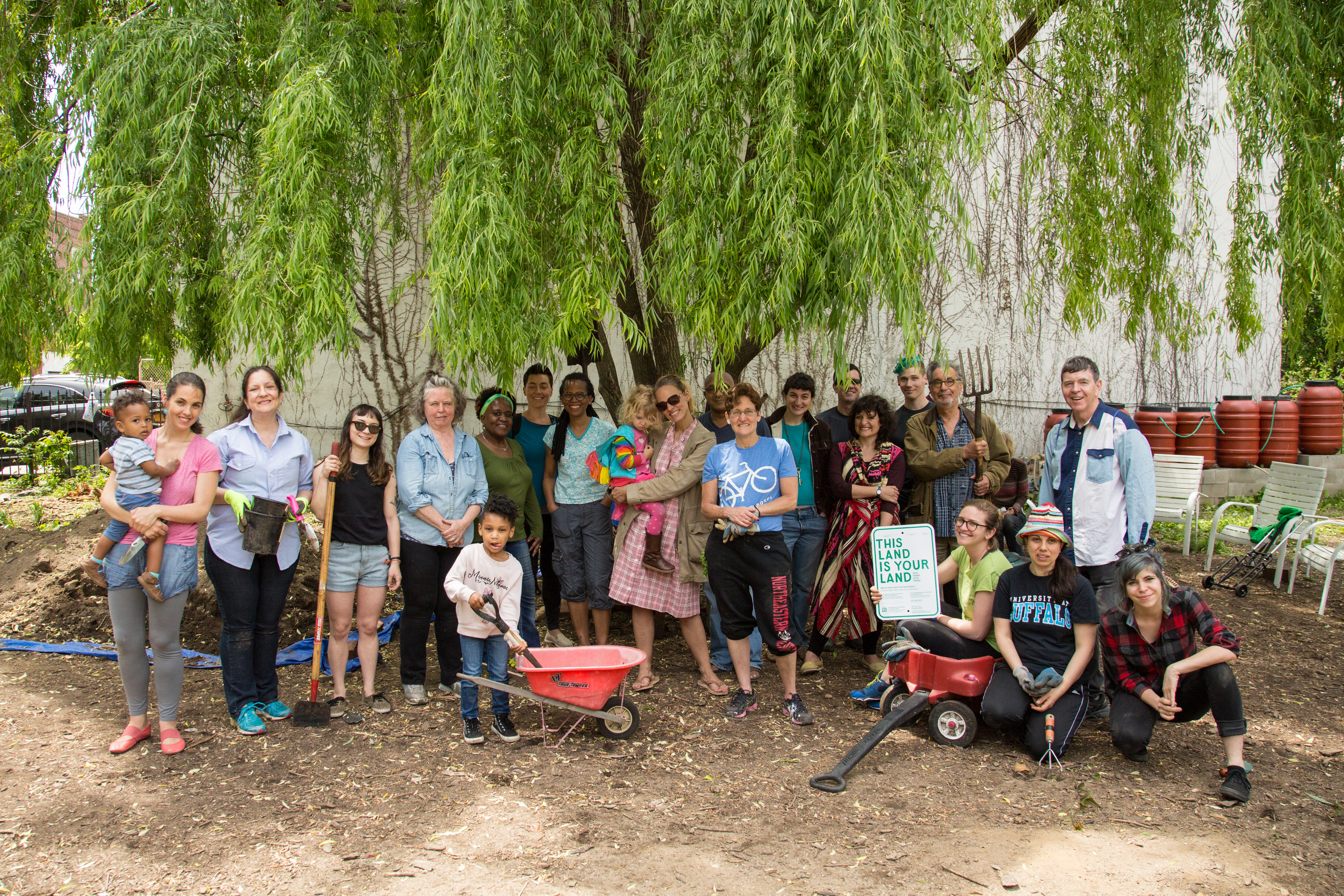
Using Urban Reviewer to Identify Vacant Lots | One example of how Urban Reviewer has already led to action is with the identification and transformation of vacant lots. As Paula Z. Segal, Executive & Legal Director at 596 Acres, explains: “making plans accessible helped us find places that were cleared with the intention of creating open public spaces. In our work through 596 Acres, we have already found two of these and helped neighbors transform them into something better.” The map connects all of the currently vacant publicly owned lots that were created through the adoption of a master plan with their corresponding page on 596acres.org and all the necessary information to organize for their transformation. But the platform could also raise public awareness, provoke insights and lead to actions on a variety of other issues. People are encouraged to share their findings and the actions that resulted from using Urban Reviewer to the following email address: urbanreviewernyc@gmail.com.
Historical context | Between 1949 and 1974, federal funding spurred the demolition of neighborhoods that were deemed “blighted” to make way for new development. Inspectors working for the Slum Clearance Commission during the early period of Urban Renewal and employees of The Department of Housing Preservation and Development during the later period determined the “blight” designation. These departments created plans for the blighted neighborhoods to get demolition approval. The demolition used an expanded version of eminent domain acquire land, relocate people and businesses, and demolish buildings. The lots received designations like “housing,” “industrial,” or “open space.” Urban Reviewer analyzed these paper-only plans from The Department of Housing Preservation and Development (HPD) and transformed them into digital maps accessible to the public. On the maps, users will be able to see every lot that was designated for “renewal” and what form that renewal was supposed to take. For more historical perspectives see Urban Reviewer essays What Was, And What Is, Urban Renewal in New York City? by Mariana Mogilevich and Who Makes A Neighborhood? by DW Gibson, http://www.urbanreviewer.org/#page=essays.html.
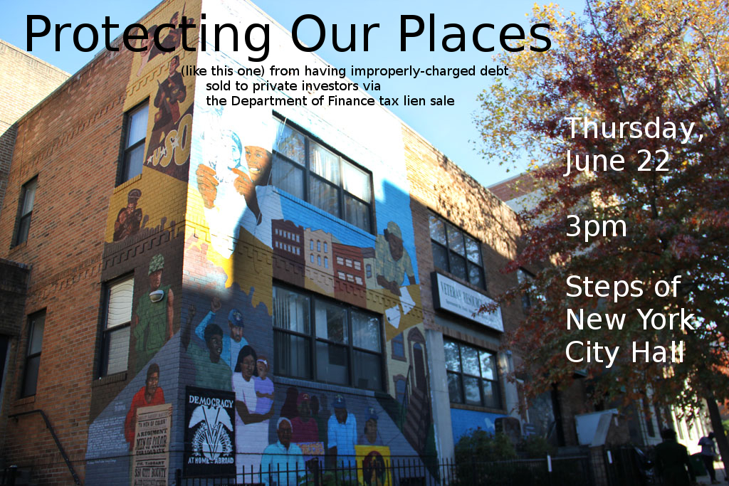
Increasing Government Transparency | The laborious process behind this project speaks to the difficulty of accessing city documents. For instance, 596 Acres could not afford to purchase copies at 25 cents per page from HPD; the statutory rate under the New York State Freedom of Information Law (FOIL). 596 Acres had to take advantage of a portion of the law that requires government agencies to make their documents available for inspection to arrange for a team of dedicated volunteers to visit the HPD Records Access office regularly for about a year to extract the information you see on the NYC Urban Reviewer. The volunteers were not even allow to photograph nor make copies of the plans. There is a bill in the NYC Council called the OpenFOIL bill that would make a big difference in everyone’s ability to see and share government documents: it requires city agencies to post all requested documents to a public web portal after even a single request. If this law was in effect today, HPD would be obliged to post all the +150 plans used to create Urban Reviewer.
Future Development | 596 Acres is presently looking for funding to make the information available onsite, augment the online tool with oral histories, and develop it with other cities.
Urban Reviewer: Reviewing Past Urban Plans > Discovering Present Impact > Supporting Future Actions: urbanreviewer.org
Media Requests
Paula Z. Segal, Esq.
Executive Director and Legal Director, 596 Acres
718-316-6092 x 2 – paula@596acres.org
About 596 Acres
596 Acres is New York City’s community land access program. We help neighbors organize around and gain access to the city’s warehoused and empty public land. Our work enriches the quality of life for all New Yorkers by facilitating community-based civic action and helping to transform unused vacant land into new open spaces. We are currently adapting our model in Philadelphia (groundedinphilly.org), in Los Angeles (laopenacres.org), in New Orleans (livinglotsnola.og) and are in discussion to extend this land access movement to 15 other cities worldwide that have expressed an affirmative interest in 596 Acres’ approach. We are a small and young organization that has been working on a shoestring budget since 2011 and are now looking for financial partners to help us revolutionize land access processes worldwide. Spread the word!
-ENDS-